




Toronto Cycling
In order to guide cyclists along its growing network of on-street cycle infrastructure, the City of Toronto commissioned Steer to develop and implement a world-leading cycling wayfinding strategy.
Jeddah Metro
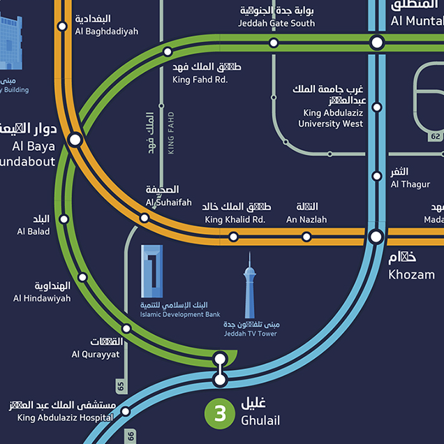
Only 12 percent of Jeddah’s population currently live within a 10 minute walk of Jeddah’s transport nodes – the project aimed to achieve 50 percent through a process of densification and strategic planning.


Toronto TO360
The TO360 Wayfinding Strategy supports walking as the connecting mode that enables multi-modal transportation in Toronto, through unified signage and mapping systems delivered consistently by the City and its partners.

Metrolinx
Steer is supporting the region’s transport agency Metrolinx as their wayfinding and customer infrastructure design consultant of record. Steer provides world-leading strategic advice and design solutions in support of Metrolinx’s ongoing investments in new rapid and regional transit options.

+15 Skywalk
The City of Calgary commissioned Steer to develop a clear wayfinding system that improves accessibility and makes it easier to use the +15 Skywalk network, attracting more people and creating a better overall experience.

Kingston University
Commissioned by Grafton Architects, we created an indoor and outdoor wayfinding system for this six-storey educational hub in London, UK that houses a library as well as dance studios, event spaces, cafés and roof gardens.


Sheffield Transport
Sheffield’s Transport Vision is an ambitious plan to deliver a transport network that builds upon the city’s historic tram network and will help the city develop through 2035.

Kingsbridge
This wayfinding system for the town of Kingsbridge in South Devon was developed to encourage visitors to extend they stay and explore the area’s many attractions.