Toronto Cycling
Consistent and scalable bike-specific wayfinding standards for a citywide rollout.
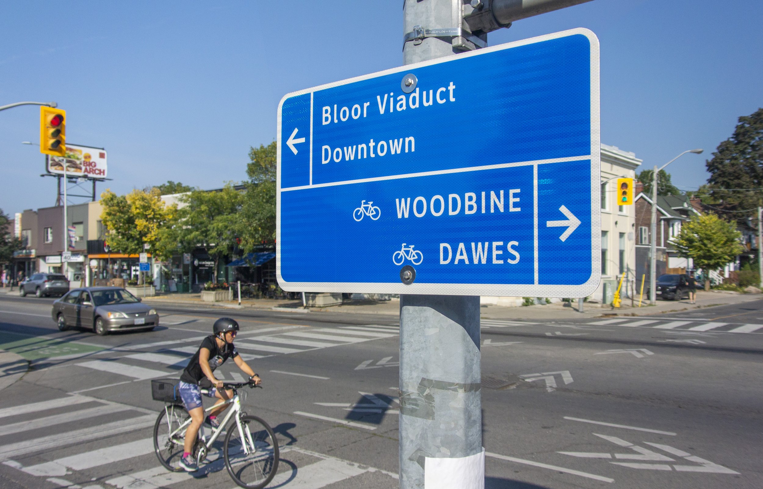
Steer developed a comprehensive wayfinding strategy to support of Toronto's growing network of cycling infrastructure, and is supporting the City through implementation planning, signage rollout and coordinated mapping products.

We first established the system’s parameters and drafted standards for design, placement, and content, which we tested via a 50-sign pilot in the city’s East End. We applied lessons from the pilot to optimize the design and our workflows ahead of a citywide rollout which will eventually encompass 1500+ signs.


The strategy is integrated with the city’s multi-use trail wayfinding system, in order to facilitate ‘handoffs’ from street to trail via coordinated naming and icon standards.

Signage also shares graphic and naming standards with Steer’s Toronto Cycling Map and Bikeshare station journey maps. Together, the signage system and maps establish a predictable experience for cyclists by depicting routes consistently through the pre-journey and en-route experience.


Client: City of Toronto