Toronto TO360
City-wide coordinated wayfinding for walking, cycling and transit

The TO360 Wayfinding Strategy supports walking as the connecting mode that enables multi-modal transportation in Toronto, through unified signage and mapping systems delivered consistently by the City and its partners.


Steer has supported the City since 2011 in the preparation and delivery of the TO360 strategy. Our activities range from extensive stakeholder and public outreach, to concept and detailed design, to supporting sign installations, to the preparation of an outline business case for investment.


Steer led a team of international consultants to deliver a pilot project around Union Station and the Financial District. The system was planned in order to grew outwards from downtown, following transit corridors and pedestrian activity areas city-wide.


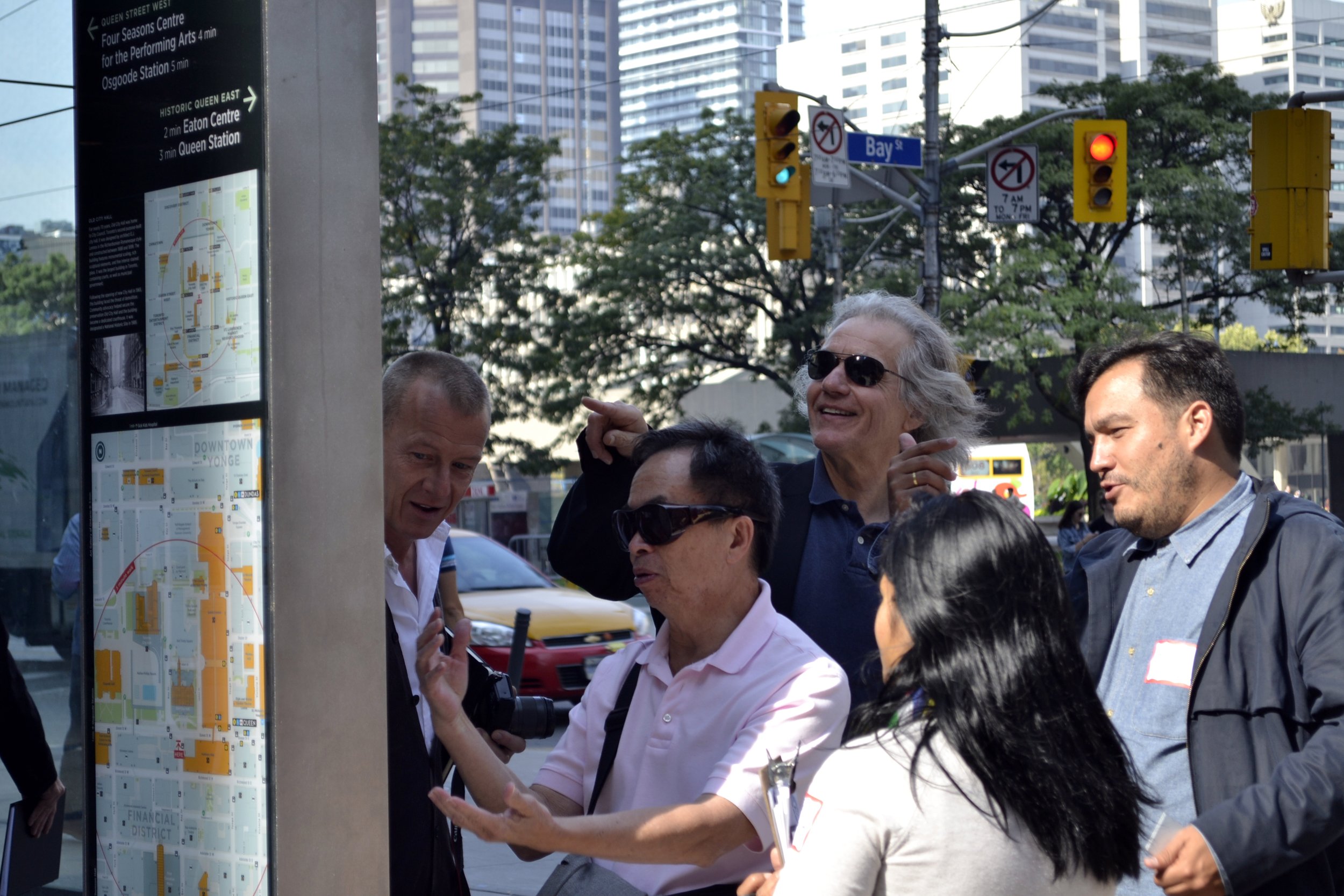
The project has been rolled out continuously over the past 10 years, seeing the installation of over 200 on-street wayfinding signs, and complementary map products at over 400 Bike Share stations, 500 transit shelters, and via local area maps located at all subway stations.


This roll-out was facilitated by a database-driven approach to manage the production of outputs, including GIS Base Mapping for the whole of the city (>800km²) and enhanced Detailed Mapping (>160km²) in areas of strategic importance.

The TO360 map base also supports printed products such as the Toronto Visitor Map and the Toronto Cycling Map, providing consistent information and user experience across platforms.


Client: City of Toronto
Partners: T-Kartor, Third Party Public, Jedco, DIALOG