
Best-in-class wayfinding and mapping to support a vision for unified urban transport.
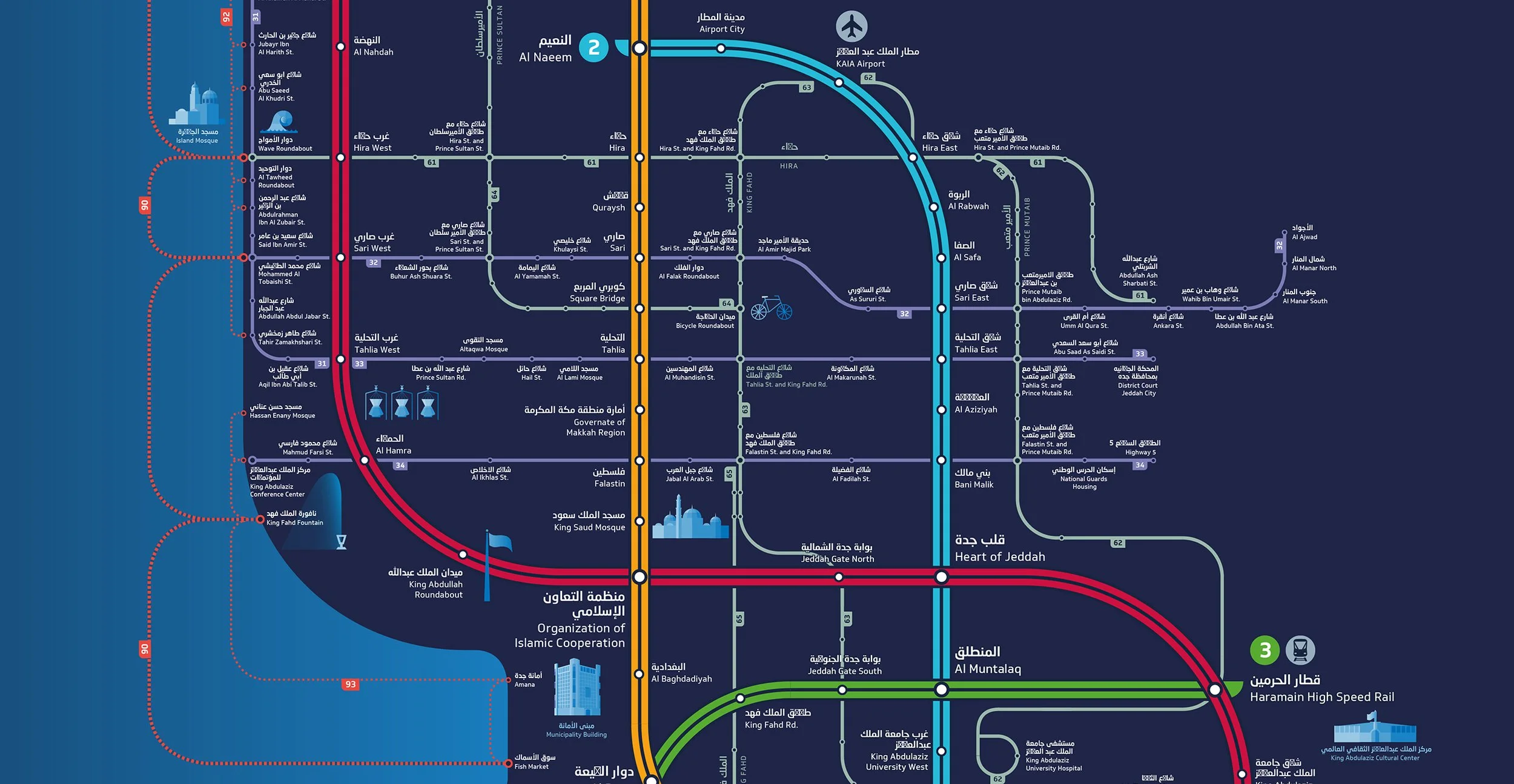
Only 12% of Jeddah’s population currently live within a 10 minute walk of Jeddah’s transport nodes; the new Jeddah Metro aimed to achieve 50% through a process of densification and strategic planning.
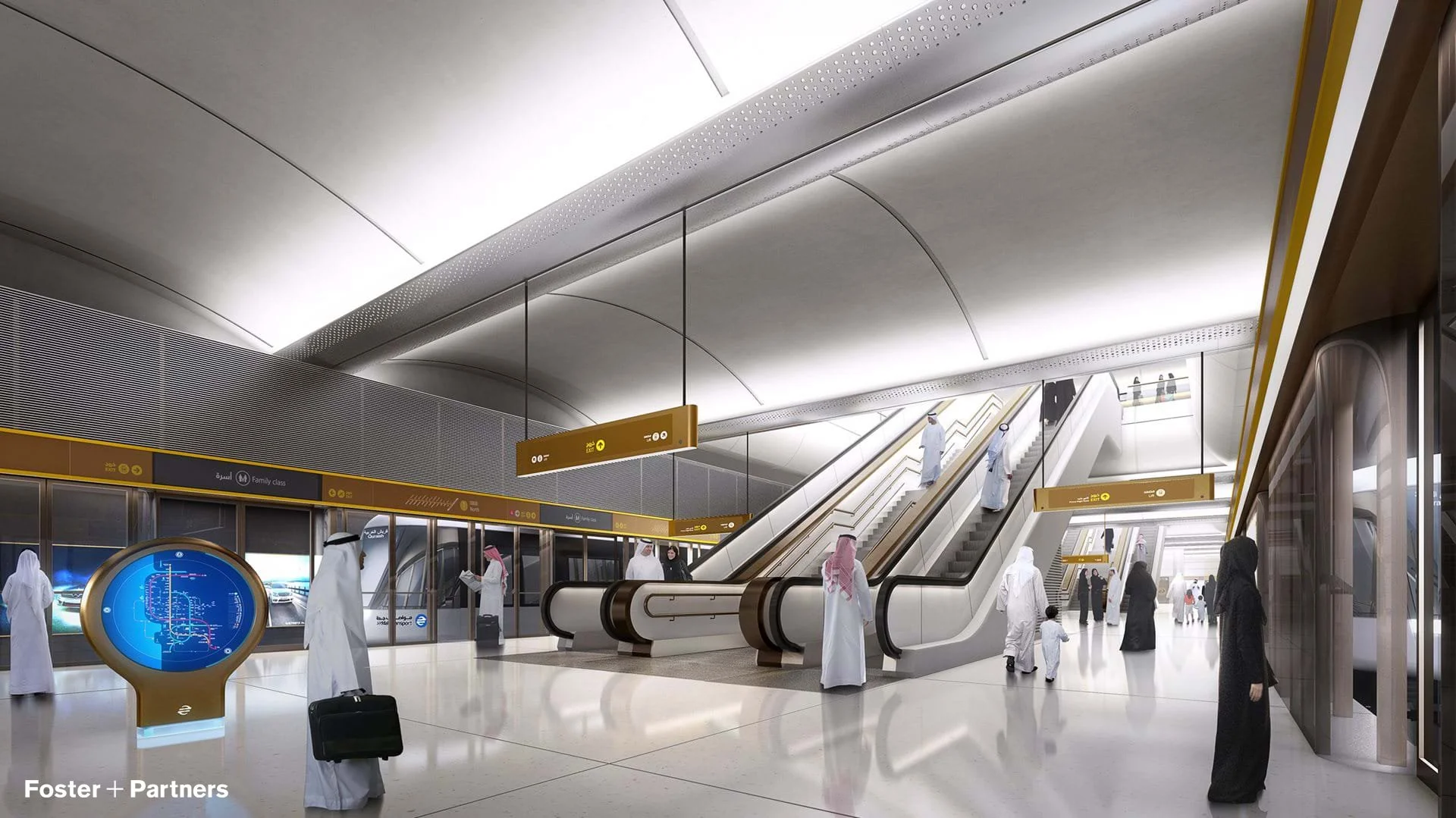
The Jeddah Metro initiative is an integrated urban masterplan that outlines a completely unified design vision of the city’s transport system. The vision extends from high-speed rail, metro, bus and tram to water taxi and a network of shaded cycle routes, pedestrian walkways, public spaces and transit oriented development.
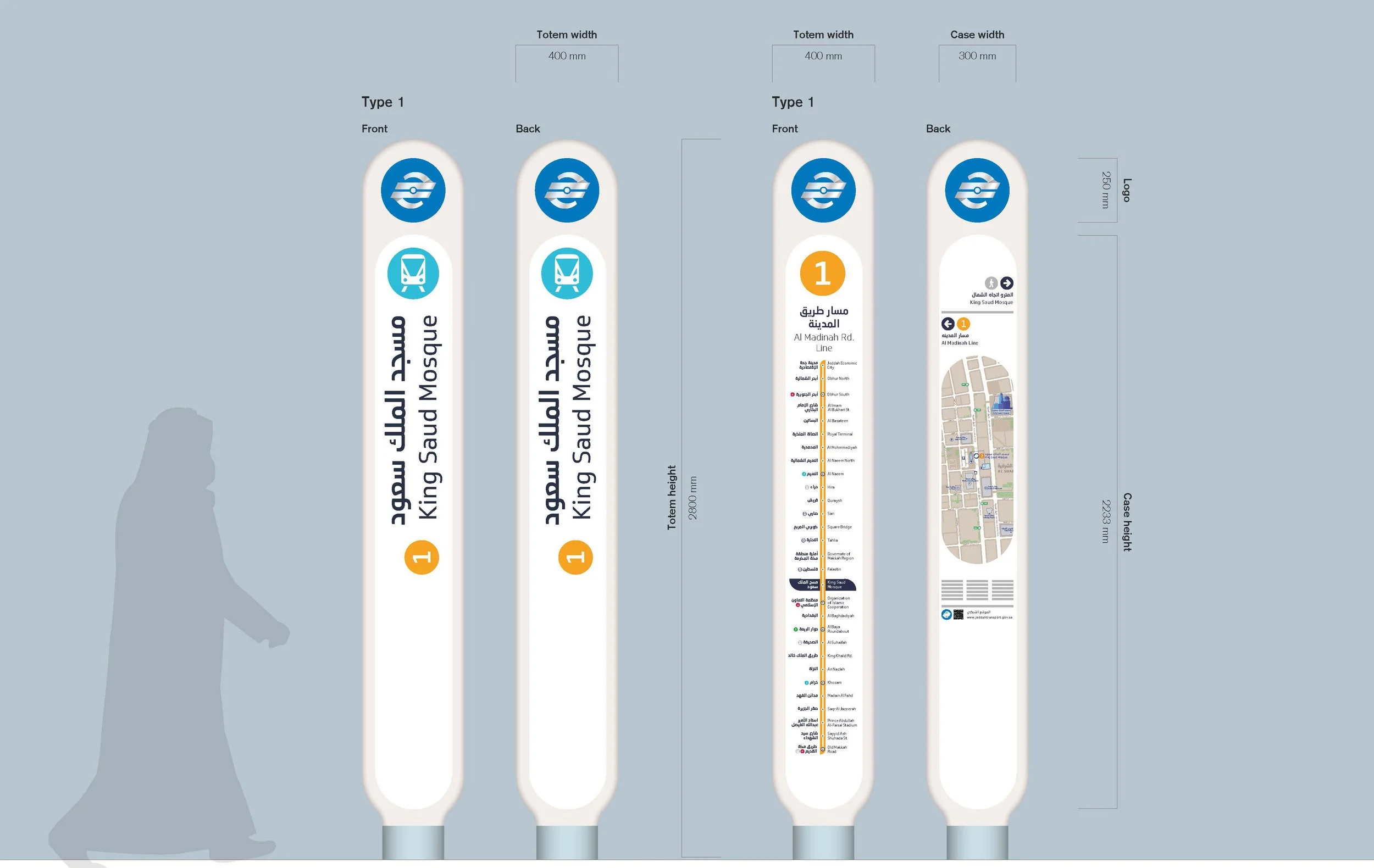
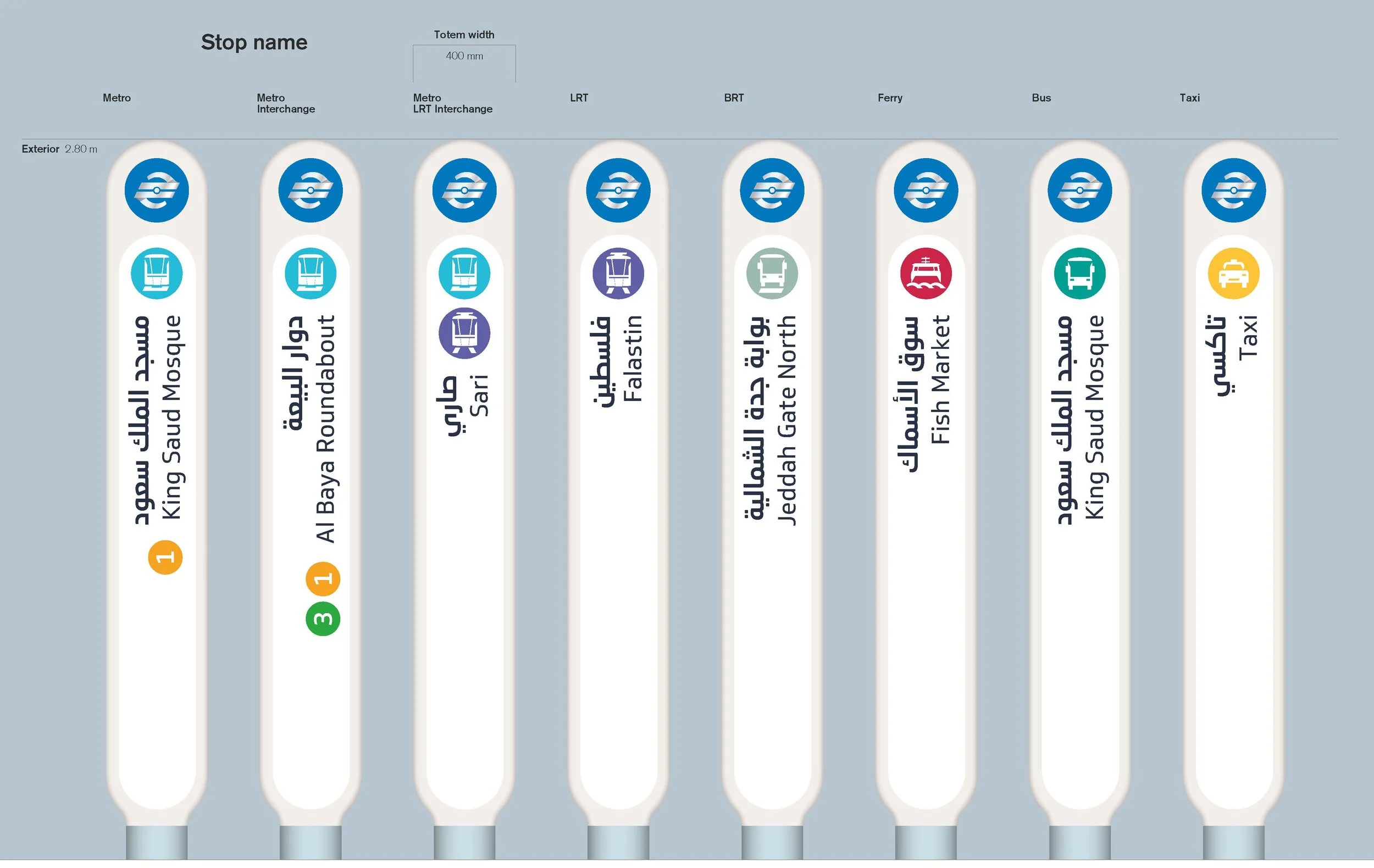
Steer formed a core part of the Foster + Partners team providing expert support on transport facility design, transit operations, passenger flow analysis and wayfinding services.
Steer led the design of physical and virtual passenger wayfinding for all modes and environments. Passenger flow modelling and movement analysis informed the spatial configuration of metro stations and interchanges and informed the vertical circulation requirements.
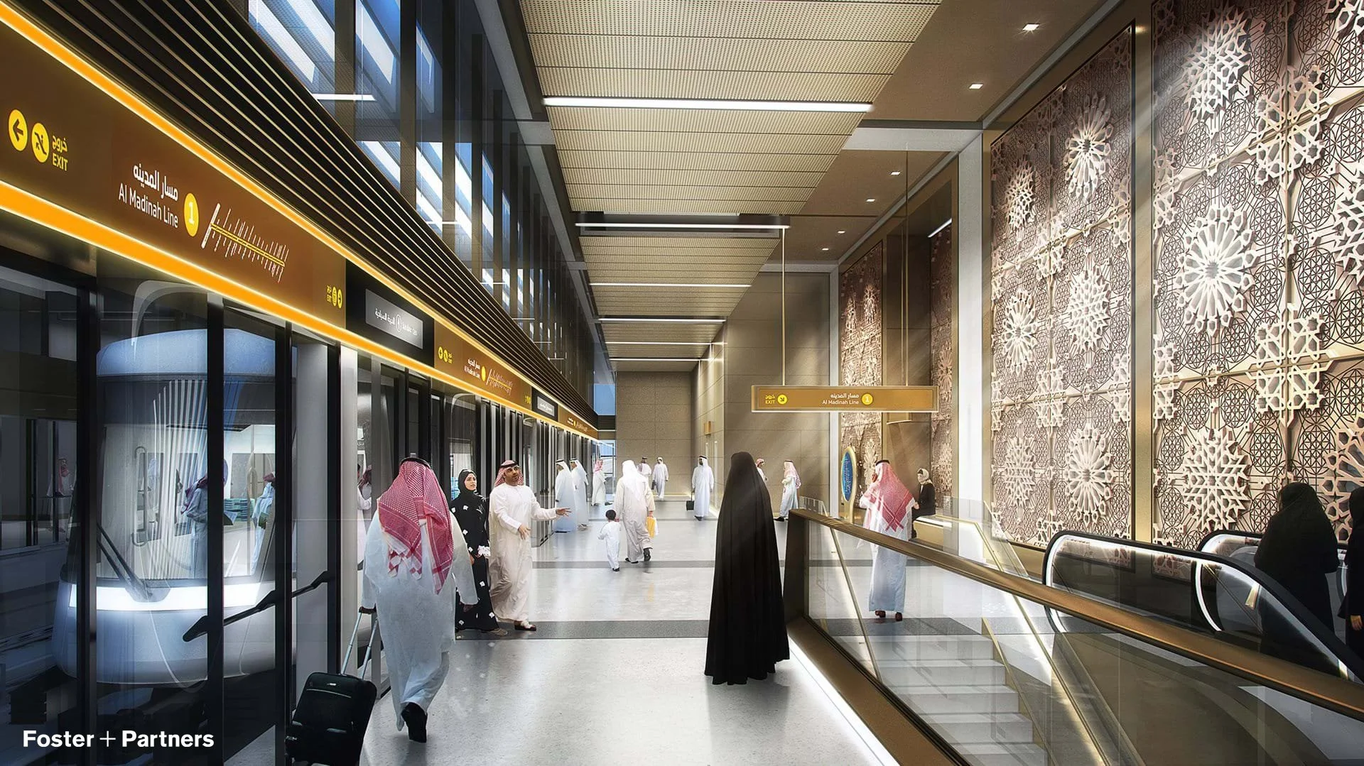
Wayfinding structures integrate with the built form. Messaging is aligned with circulation patterns and decision points to provide for an intuitive passengers experience.
The circular transit network map by Steer was inspired by an iconic 13th century map of the city.
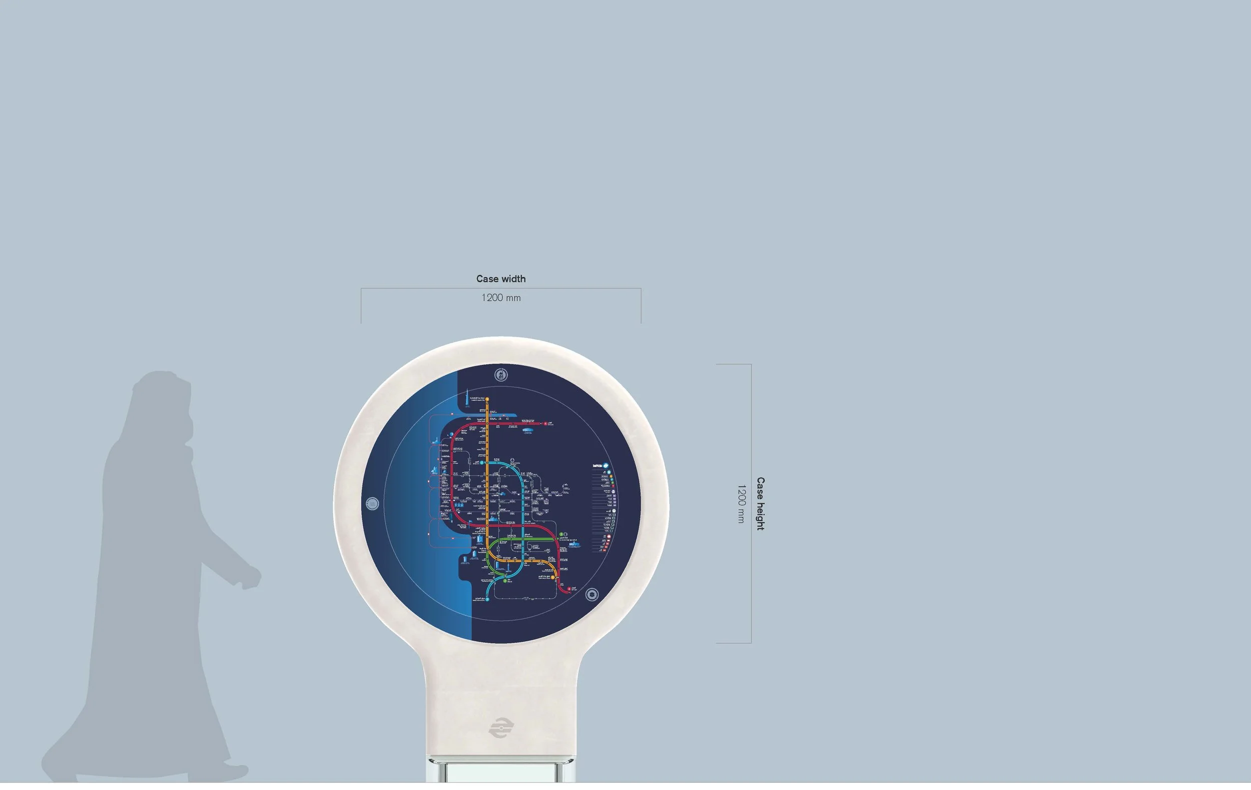
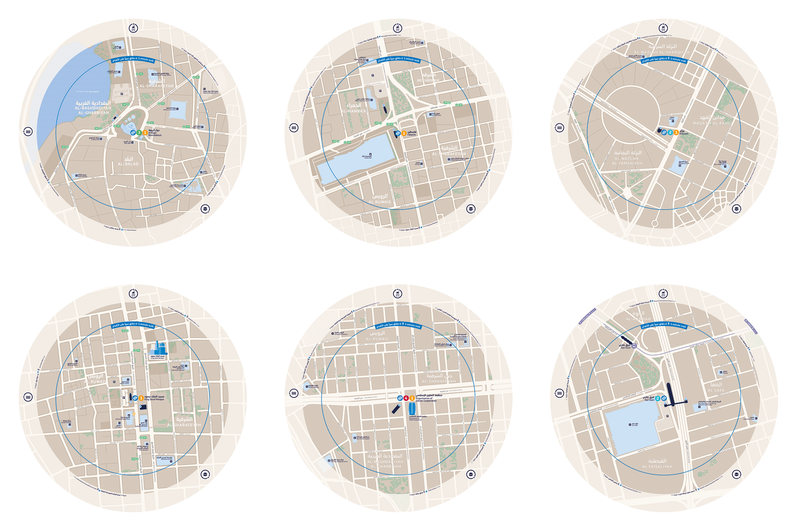
The project vision extends from design of the stations through to the wayfinding and rolling stock, using the latest technology and materials to create distinctive streamlined forms.
Client: Metro Jeddah Company
Partners: Foster + Partners / Arcadis JV