Toronto Natural Trails
A comprehensive information system for bikers, runners, and casual hikers seeking a respite from the city.

As visits to Toronto’s forested ravines and natural trails increase, so do the pressures on these sensitive areas, as do users’ expectations for wayfinding, safety, and accessibility.
In response to these pressures, the City of Toronto engaged Steer to develop a custom information system specifically suited for the needs of natural environment trails and its users.


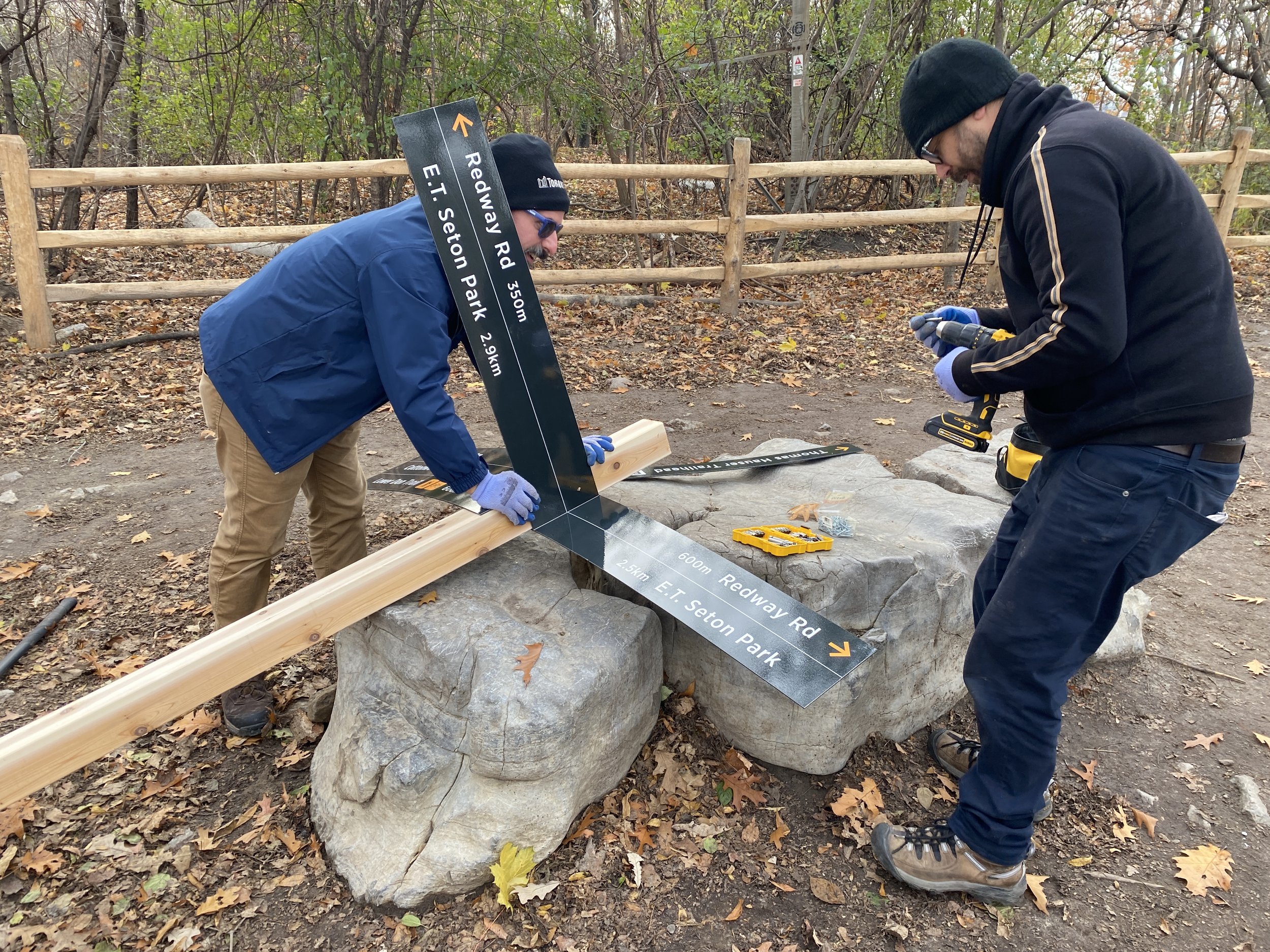
The system combines wayfinding, site interpretation, trail rules/etiquette, and emergency safety instructions into a simple, durable and cost-effective system of panels mounted to timber posts.
Using high-contrast text and clear language, trail signs guide users to notable features within the trail network, orient users to trail exits and nearby destinations, and encourage users to stay on official trails to reduce impacts on the ecosystem.

The signs’ content was developed and tested in consultation with local user groups and includes information on trail conditions to help users make informed decisions about which routes to explore.
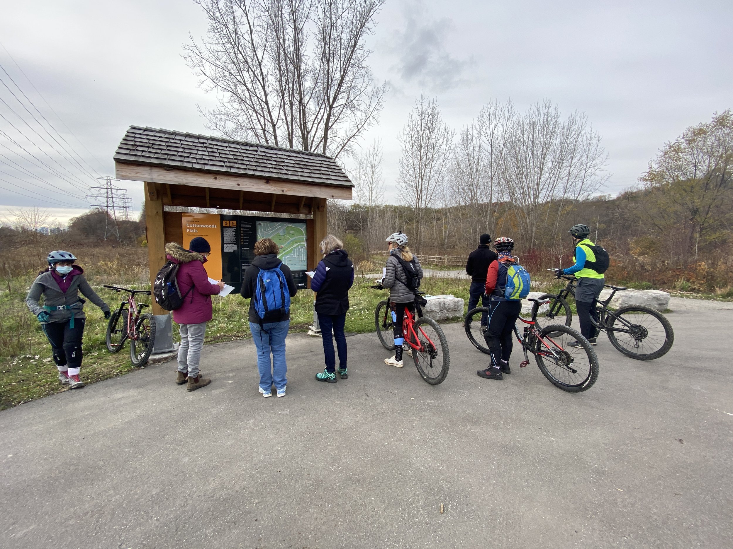

Trail types are differentiated using the IMBA (International Mountain Biking Association) trail difficulty rating system, which is familiar to bikers and skiers but is equally useful for hikers and users who are reliant on mobility devices.

The system’s design, content, and mapping standards are based upon the City’s comprehensive Parks and Trails wayfinding strategy, also developed by Steer.
A notable point of departure from the Parks and Trails strategy is the use of timber, which is intended to blend with the environment and to minimize excavations that could damage root systems.

Steer supported the testing and evaluation of the information system in two pilot sites (Crothers Woods and Beare Hill Park), and continues to advise the City of Toronto as it prepares for a wider rollout.
Client: City of Toronto